Don't settle for half the story
Demyst gives you access to all of the data you need. Evaluate thousands of data attributes from hundreds of possible data connectors all pulled into your own custom-built APIs for instant data deployment.


The Demyst Team
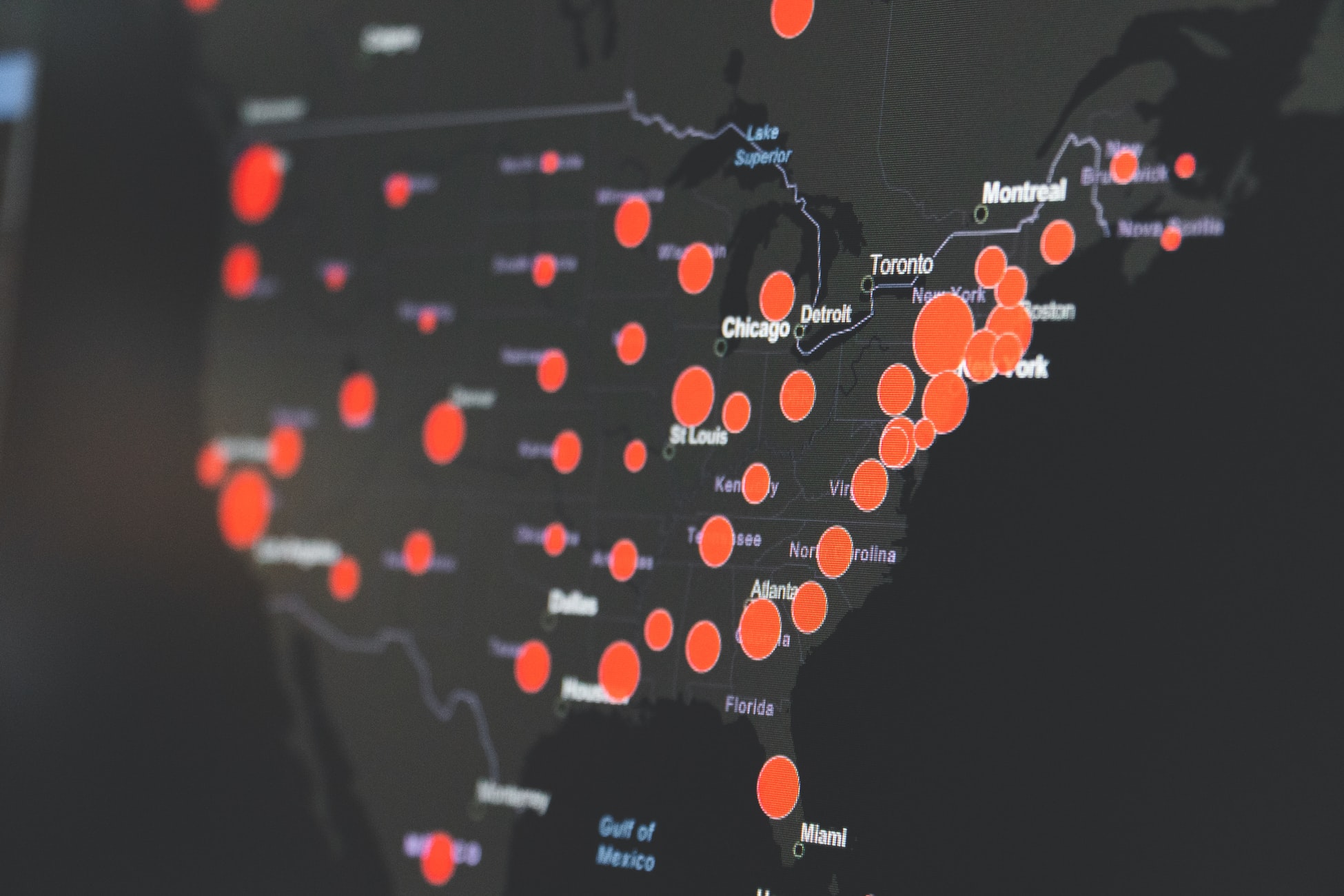
Today Demyst has released on both the Snowflake Data Exchange and GitHub Zip code level Covid-19 case and death count estimates for roughly 31,000 Zip codes. This free dataset which is being updated daily uses a simple basis for extrapolation accounts for US Zip codes, and covers reported Covid-19 occurrences at the county level.*
As the Covid-19 pandemic continues to wreak havoc globally it’s important to stay up to date regarding precisely where, and how rapidly the virus is spreading across the massive land area that is the United States. Granular tracking of the virus only helps public officials tailor their response and save lives. The challenge that seems to be overlooked is that US Counties can be pretty massive in and of themselves and almost zero people know their County FIPS code by heart.
One other challenge is that the size of counties can range drastically in both physical size and population. In fact, there are certain counties that are so big they are actually larger than whole other states! For example, Los Angeles County is larger than North Carolina by population, itself one of the top 10 most populous states. By land area LA County is also larger than Rhode Island and Delaware, combined.
As official sources continue to publish a plethora of beautiful visualizations that cover the country it seems that almost all of them fail to dig deeper into the most common way that we know (and love to) divide our great Nation; the Zip code.
FIPS codes are five-digit codes that are assigned to each county within the United States. Like Zip codes, County-level FIPS codes have five digits of which the first two are the FIPS code of the state to which the county belongs. The best way to think of a FIPS code is like a fancy version of a Zip code or postal code that distinguishes a county. There are ~3,330 counties and County-equivalents such as parishes, townships, and boroughs within the United States.
In addition to offering at least 10x more resolution than a County FIPS codes perhaps the most important detail about a Zip code is that it can declare a ton of relevant information about individuals living within as most popular demographic data is also declared at the Zip. The nearly 42,000 Zone Improvement Plan (ZIP) codes we use today launched during 1963 at a time when the amount of mail had increased dramatically with the influx of what we know today as “junk mail”.
Perhaps the best quality about them is that everyone knows their Zip code and a lot of people even know the 4-digits that come after the 5-digit code which is effectively your street, building, or even a specific floor within a large building like the Empire state building. The vast majority of the external data that is known about consumers and critical to yield insightful analysis about consumer behavior is also provided at the Zip and Zip+4 level. For example, most US marketers look at Nielsen’s 210 Designated Marketing Areas (DMAs) and then continue to dig deeper using Zip codes.
*The methodology for the production of this dataset is as follows: Every 24-hours we take the daily County-level .csv data from the New York Times and look at the county/state combinations where there is at least 1 case. Then we use external data (Demyst’s speciality) to extrapolate the most common Zip codes known to each County and then apply the US Census population estimates for each Zip code as proportional coefficients to effectively distribute the reported case and death counts by County.
Don't settle for half the story
Demyst gives you access to all of the data you need. Evaluate thousands of data attributes from hundreds of possible data connectors all pulled into your own custom-built APIs for instant data deployment.
External data can be easy to discover and deploy